Common hydraulic model for water utilities in Vakka-Suomi region
Five municipalities in the Vakka-Suomi region commissioned Sweco to create an intermunicipal hydraulic model for their water supply networks. The regional model supports common future planning as well as each municipality’s individual water supply renovation and development projects.
Regional hydraulic model and municipal cooperation
Uusikaupunki, Pyhäranta, Laitila, Taivassalo, and Kustavi jointly commissioned Sweco to develop an intermunicipal hydraulic model for their water supply networks. Sweco’s water management experts had previously created a development plan for the same water utilities. Cooperation is considered essential in the Vakka-Suomi region.
“Nearly all the area’s water comes from a single source—the Uusikaupunki freshwater basin—so we are part of the same network. Changes made by one can affect the neighboring municipalities,” explains Kim Westerholm, director of Uudenkaupungin Vesi. Most of the water comes from Uusikaupunki, though Laitila has its own sources as well.
Municipalities are also encouraged to collaborate by the upcoming renovation tasks faced by all Finnish water utilities, which Westerholm compares to the construction boom of the 1970s. A significant amount of water infrastructure needs to be rebuilt in the coming decades.
“The oldest drinking water facilities are 100 years old, surface water plants are 70 years old, and wastewater treatment plants are reaching 50 years,” he notes.
What’s included in the hydraulic model?
The hydraulic model developed for the five municipalities is a computational representation of the entire water supply network. It helps reliably evaluate how the potable water system functions in different scenarios, such as whether pressures are sufficient during increased water consumption.
“The intermunicipal model illustrates cause-and-effect relationships and enables simulating network events during an average day or peak consumption days,” says Joona Lepistö, Sweco’s project manager for water management asset management. In Vakka-Suomi, peak days occur in summer. “Water consumption varies greatly as the area is popular for holiday homes.”
The Vakka-Suomi model includes 850 kilometers of water supply network, 11 water reservoirs, 19 pressure boosting pumps, and 4 water sources. Network maps, interviews, and data from remote monitoring systems about past events were utilized in constructing the model.
“Finally, we calibrated the model to reflect actual network performance based on historical data from remote monitoring systems,” Lepistö adds. The end result provided specific models for each water utility and reports on key findings. “The results were also presented on a map.”
Even small municipalities benefit from the hydraulic model
Olli Lahtonen, building inspector from the municipality of Pyhäranta (with less than 2000 residents), considers the intermunicipal network modeling an opportunity that a small municipality couldn’t afford to miss. “When all the municipalities in the area joined, the model serves each of us on a larger scale.”
The most labor-intensive phase for the water utilities was gathering initial data, such as remote monitoring and historical data. Electronic network maps eased the data collection process. “The process was easy for us, even though we participated actively,” states Lahtonen.
In project meetings, Sweco and water utility experts reviewed the model together, identifying inconsistencies. “Thanks to the dialogue, the modeler could understand the network’s actual performance and make necessary adjustments,” Lepistö emphasizes.
Hydraulic model enhances municipal water management
The hydraulic model provides municipalities with insights into the water supply network’s performance, average pressures, exceptional circumstances, and intermunicipal water flow. This information is useful for building new lines and predicting network performance.
“We discovered a surprising amount, including bottlenecks in our network,” Lahtonen says. He believes it’s up to each municipality to decide how to utilize the model. “For us, the model can help determine locations for meter shafts to monitor consumption.”
The model supports strategic planning for water utilities both within municipalities and across municipal boundaries. Although the raw water from the Uusikaupunki freshwater basin is ample, Westerholm says the model has helped identify areas where the network does not function as it should. “In undersized pipes, water doesn’t move, wasting energy, and oversized pipes can lead to stagnant water, affecting water quality.”
The model has proven useful in evaluating transfer lines to remote villages in Uusikaupunki. “The farther from the center we go, the fewer lines there are, making us carefully consider alternative routes in renovations,” Westerholm says. The model, for example, demonstrated that water would not suffice in the south if the line heading east were broken.
Based on the finished model, Sweco created a disinfection plan for Uusikaupunki’s water supply network. “We now know precisely when disinfection chemicals will have spread throughout the network,” Westerholm states with satisfaction. Chlorination happens quickly when the chemical feed points are placed exactly right. This placement was identified through modeling.”
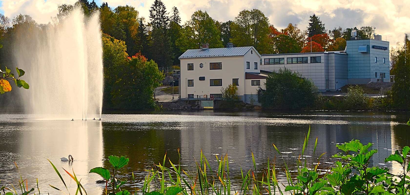
Picture: Uudenkaupungin Vesi